Our Services
Agrology uses innovative drone solutions to help you manage your land more efficiently.
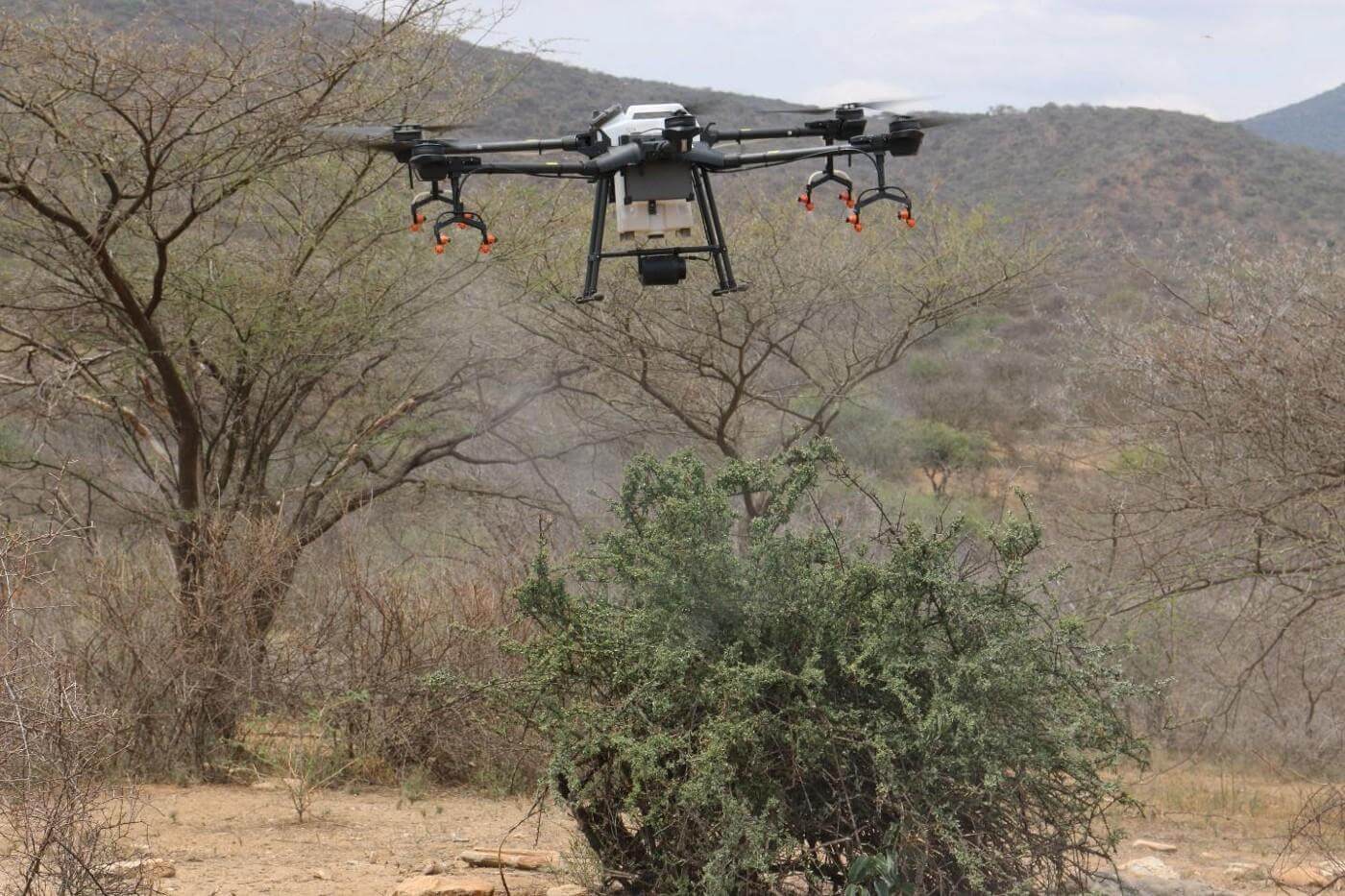
Debushing
Control your land
Bush encroachment reduces grazing capacity and limits productivity. Step away from blanket spraying, apply appropriate chemicals directly to where they are needed, for optimum results.
- Targeted chemical application
- Large areas covered in a timely manner
- Improved long-term land use
After an assessment, our team can advise the type and amount of product needed to meet your goals.
Precise application means better control with less chemicals.
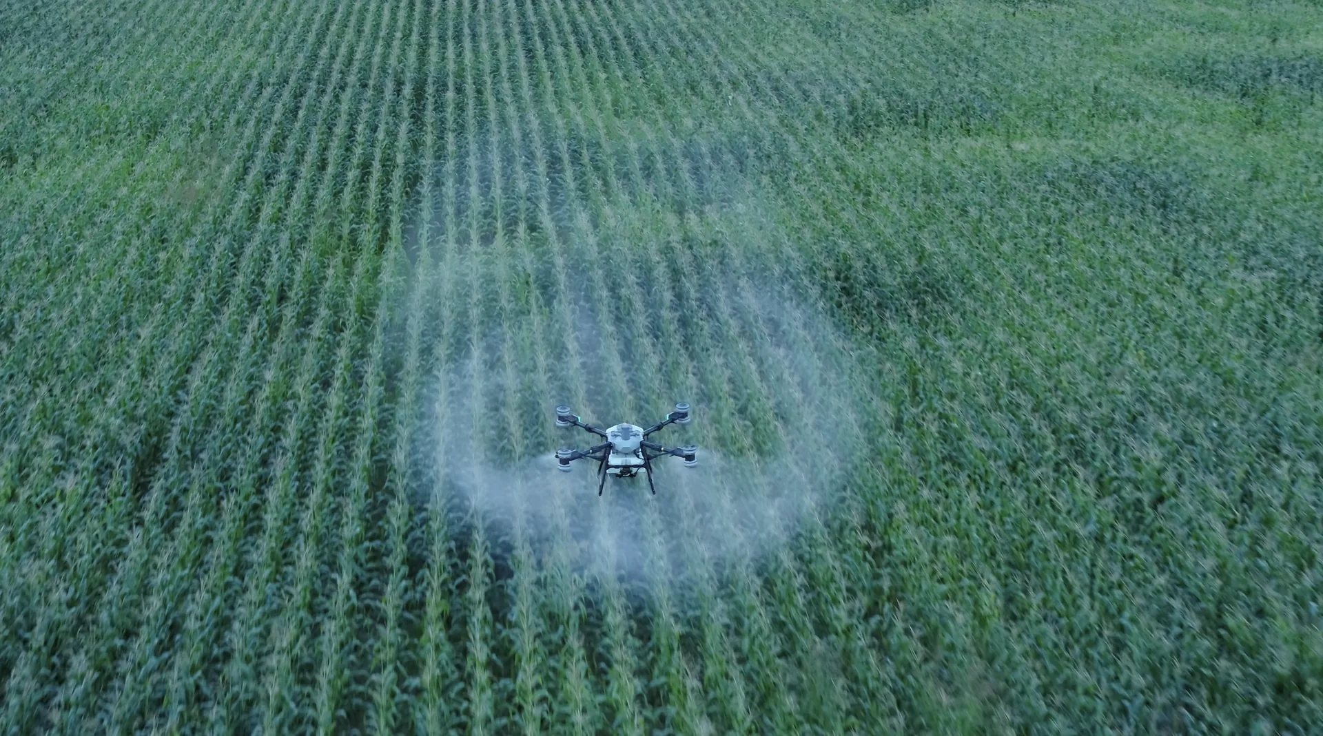
Weed Management
Stop the “Silent Thieves”
Weeds will poach your land’s nutrients from the plants which need them. Apply the correct poison to the required area, and maximise your field output.
- Even, efficient poison application
- Soil care
- Better field health and yield
Precise application means better control with less chemicals.
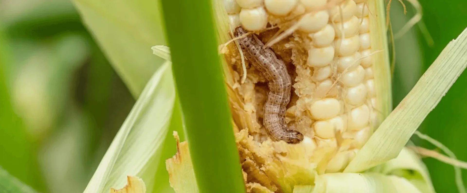
Pest control
Protect your fields from seed to harvest
Pests damage crops. Individual or infestation, pests are a problem. A problem that can be solved, by spraying the right amount at the right time.
- Specialised spraying
- Control pests early and effectively
- Uninhibited crop development
Precise application means better control with less chemicals.
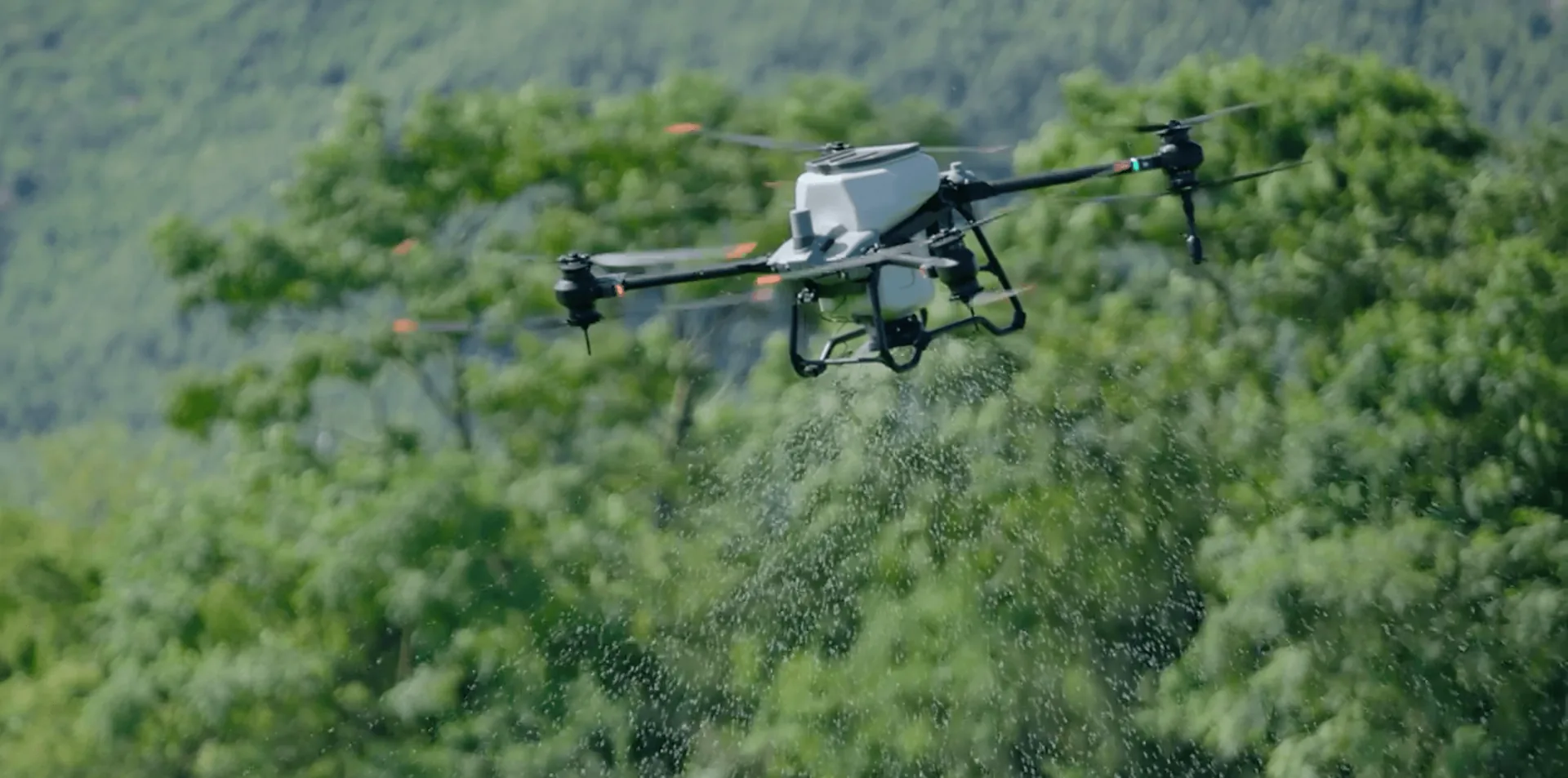
Fertiliser Application
Crop health equals farmer wealth
Give your plants what they need. Precise fertilising ensures even coverage across your fields, improving crop consistency at every growth stage and reducing wasted product.
- Accurate fertiliser and crop treatments application
- Maximise every stage of the growing cycle
- Greener outcomes
Precise application means better control with less chemicals.
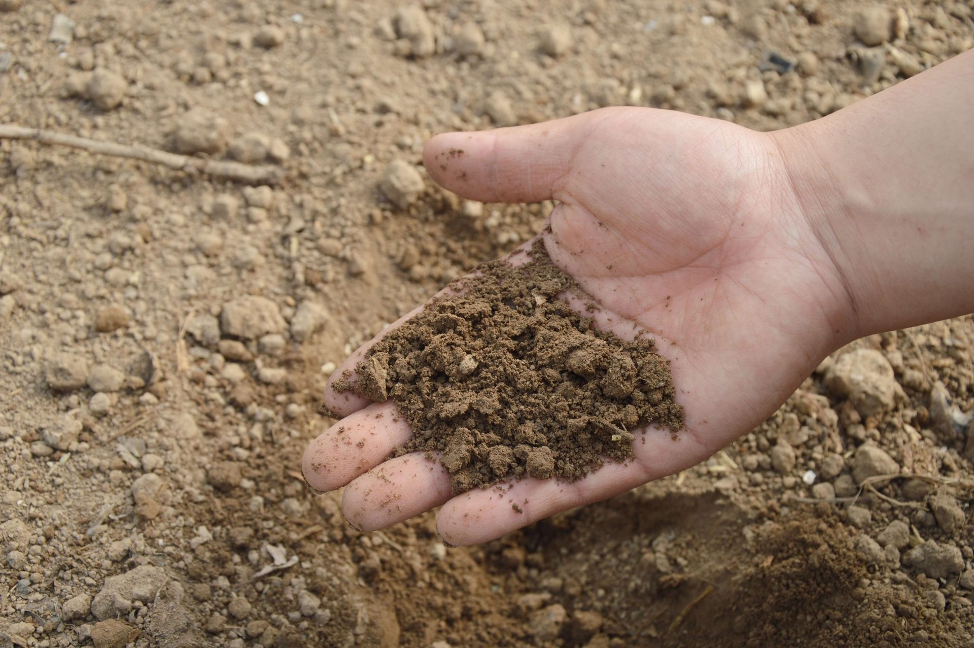
Soil Analysis
For thriving roots & shoots
Target your land’s shortcomings, by understanding what the ground contains.
- Soil sample collection
- Lab testing coordination
- Post analysis practical insights
No guesswork—just informed decisions that improve results over time.